In this guide (9 sections)
Quick answer
The Nar Phu Valley trek takes about 13 days from Kathmandu. You drive to Koto, walk up a narrow canyon to the villages of Phu (4,080 m) and Nar (4,110 m), and cross the Kang La (5,320 m) to Ngawal on the Annapurna Circuit. You need a restricted area permit and an ACAP, arranged through an agency, with a licensed guide.
When trekkers ask us for somewhere that still feels like old Tibet, without flights or expedition camping, we suggest Nar Phu. The valley only opened to foreign trekkers in 2003, and the restricted-area rules keep visitor numbers low. Here is how we plan it, from the permits to the last night in Manang. See the Nar Phu region page for the bigger picture.
The route at a glance
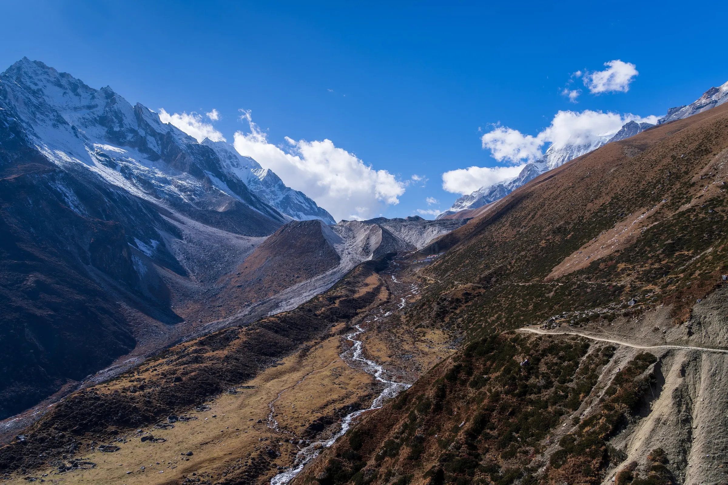
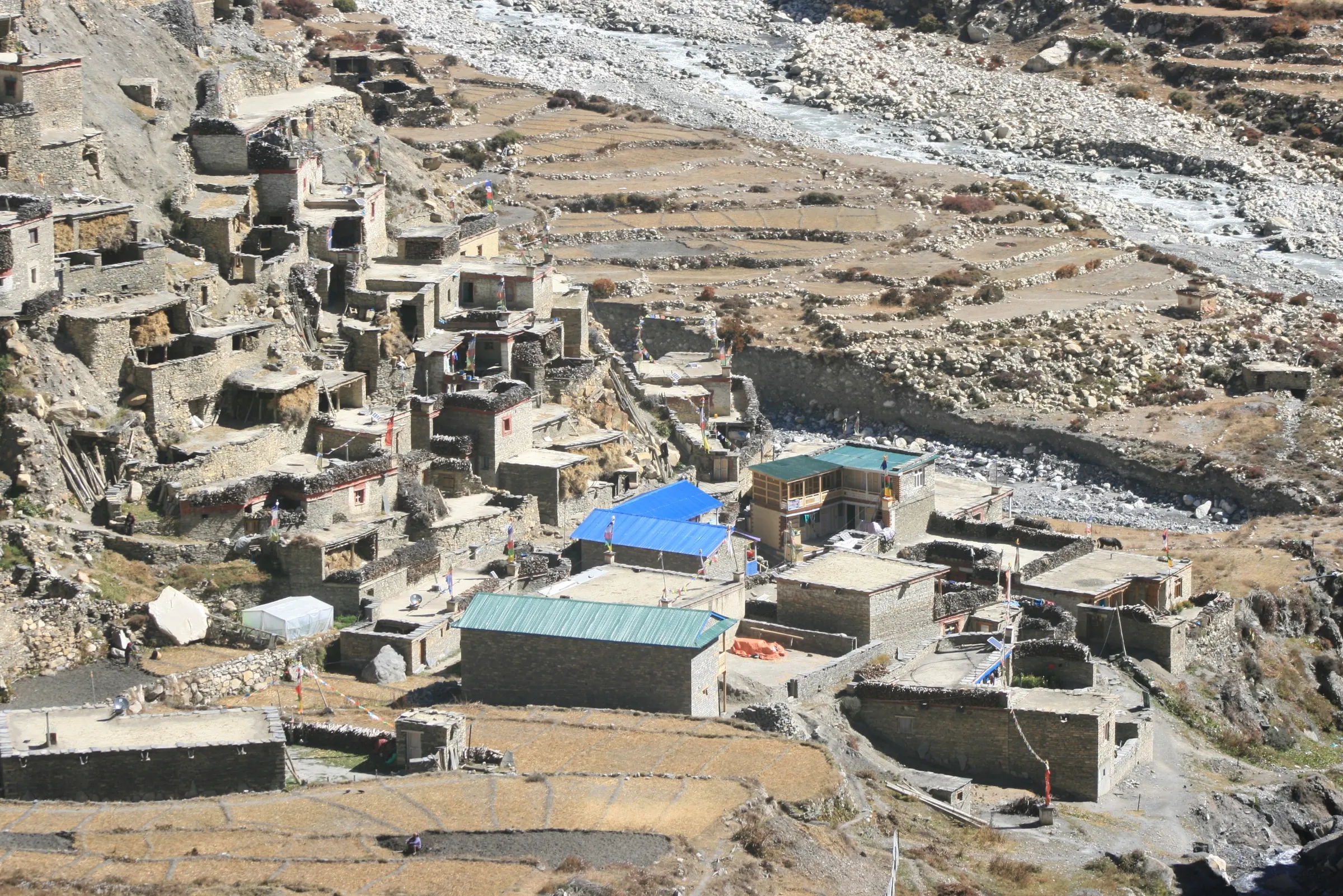
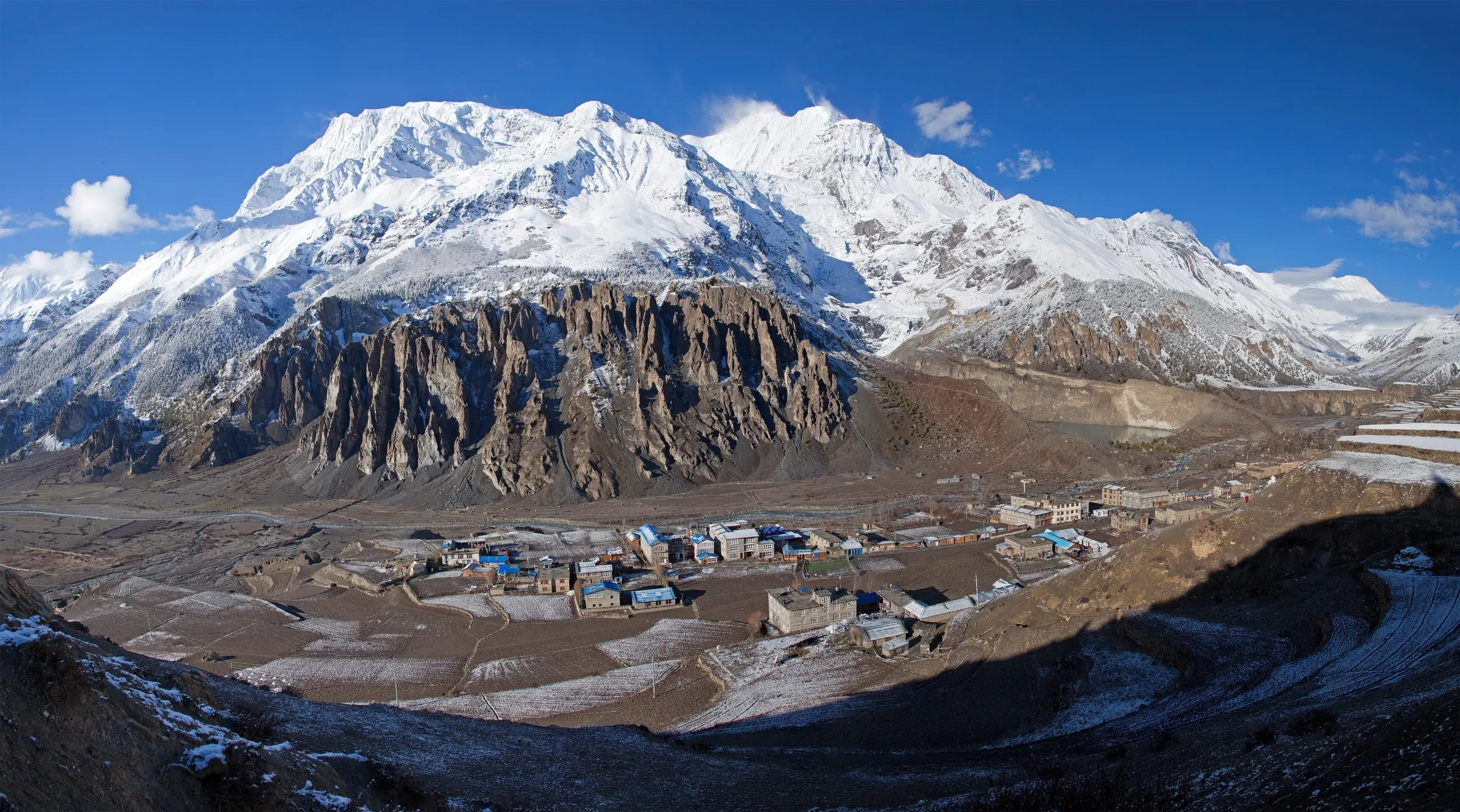
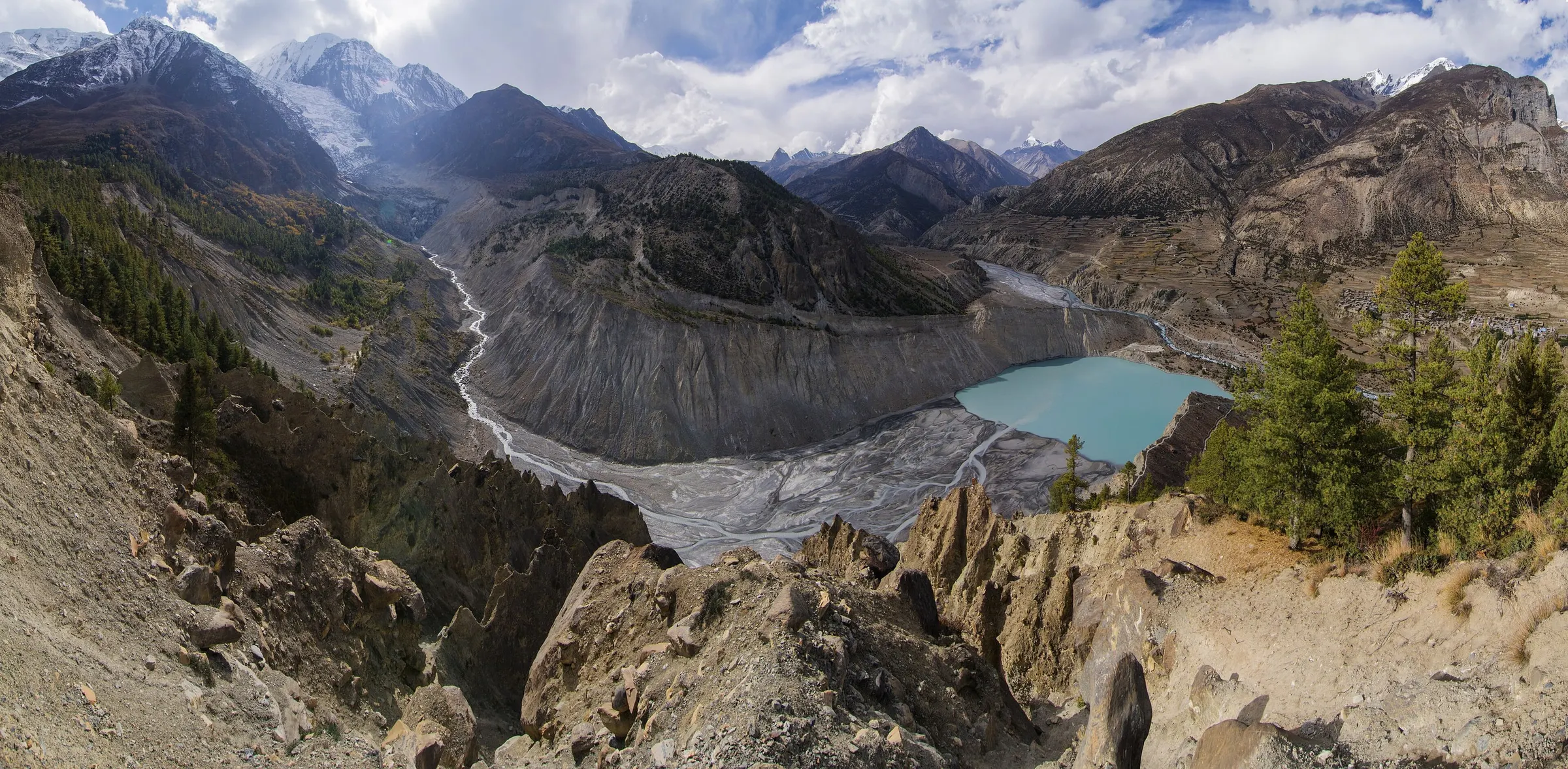
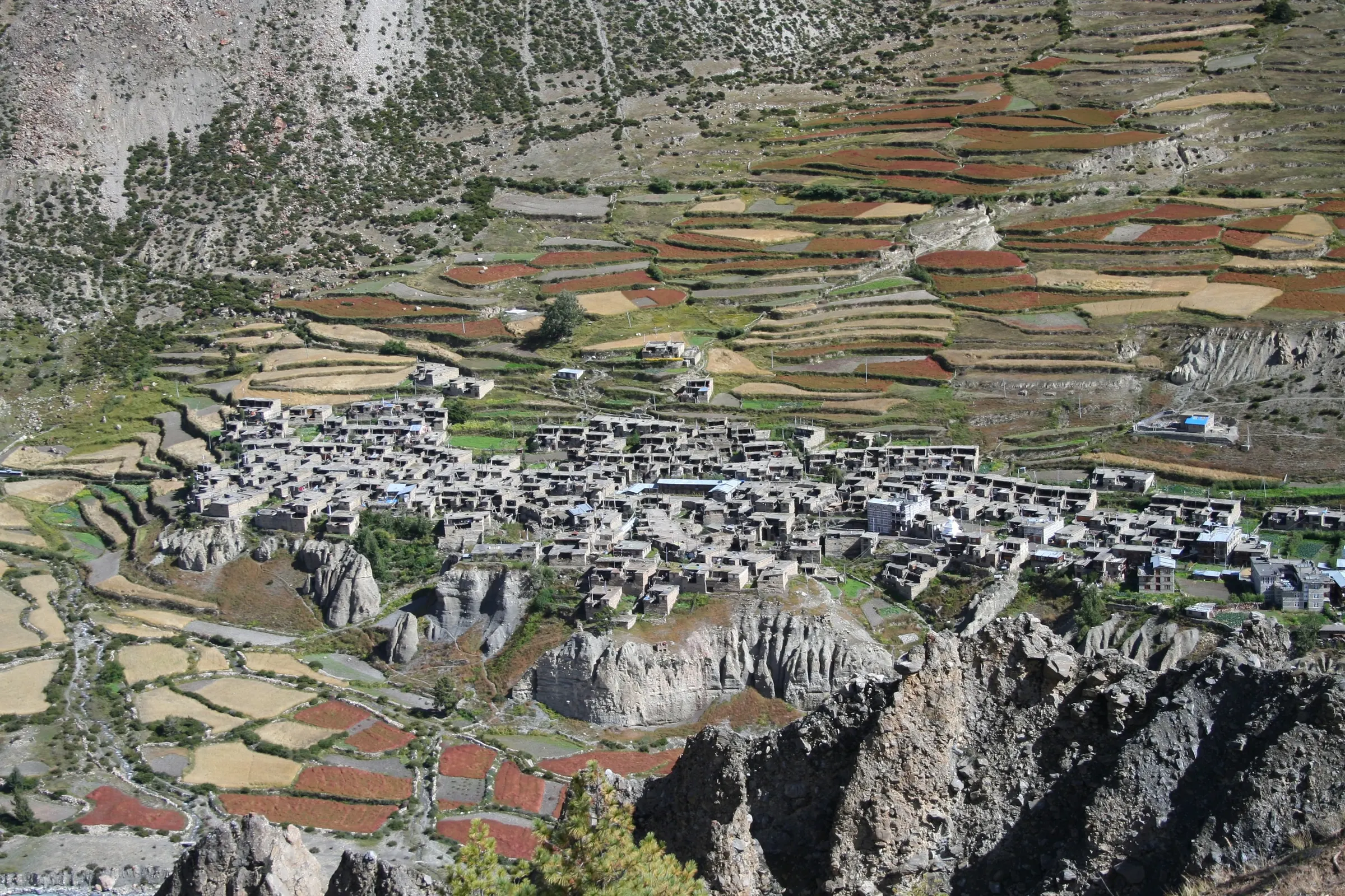
The trail leaves the Annapurna Circuit at Koto (2,600 m) and follows the Phu Khola through a deep, narrow gorge. Above the canyon, the valley opens out into summer herding camps, chortens and the old settlement of Kyang, before you reach Phu, a cluster of stone houses built like a fortress on a ridge.
Kathmandu to Besisahar by road, then by jeep to Koto.
Koto to Meta (3,560 m) through the canyon.
Meta to Phu (4,080 m) via Kyang, then a rest day in Phu.
Phu down to Nar Phedi, then up to Nar (4,110 m).
Nar over the Kang La (5,320 m) to Ngawal, and on to Manang.
Manang by jeep to Besisahar, and back to Kathmandu.
Day 4: Koto to Meta (3,560 m) through the Nar Phu canyon
Narrow gorge · Forest and waterfalls
6–7 hrs · 3,560 m
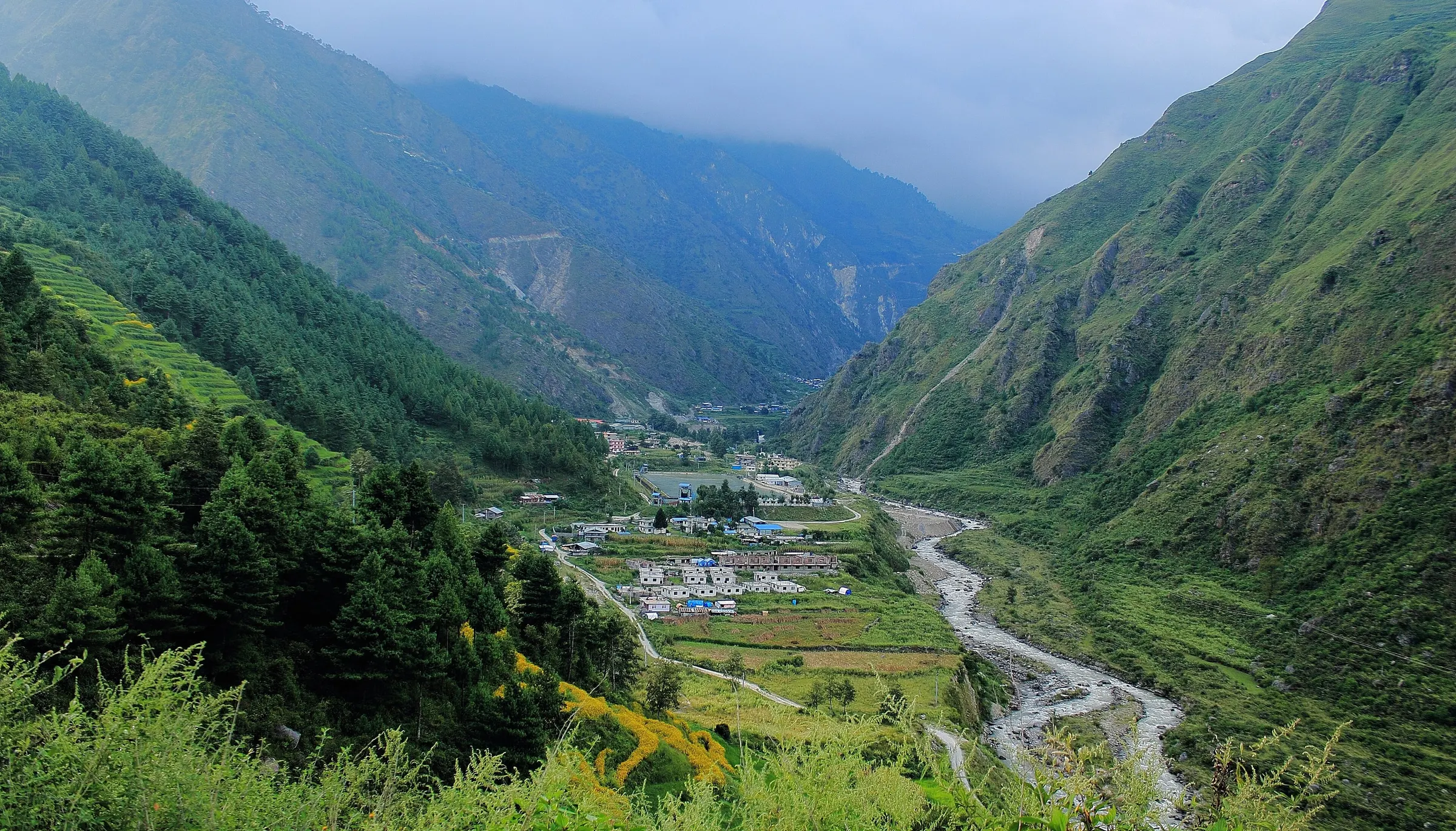
Cross the river at Koto and follow the narrow canyon through pine forest and past waterfalls, climbing steadily to the open plateau at Meta.
Day 5: Meta to Phu (4,080 m) via Kyang
Chortens and herding camps · Phu Gate
6–7 hrs · 4,080 m
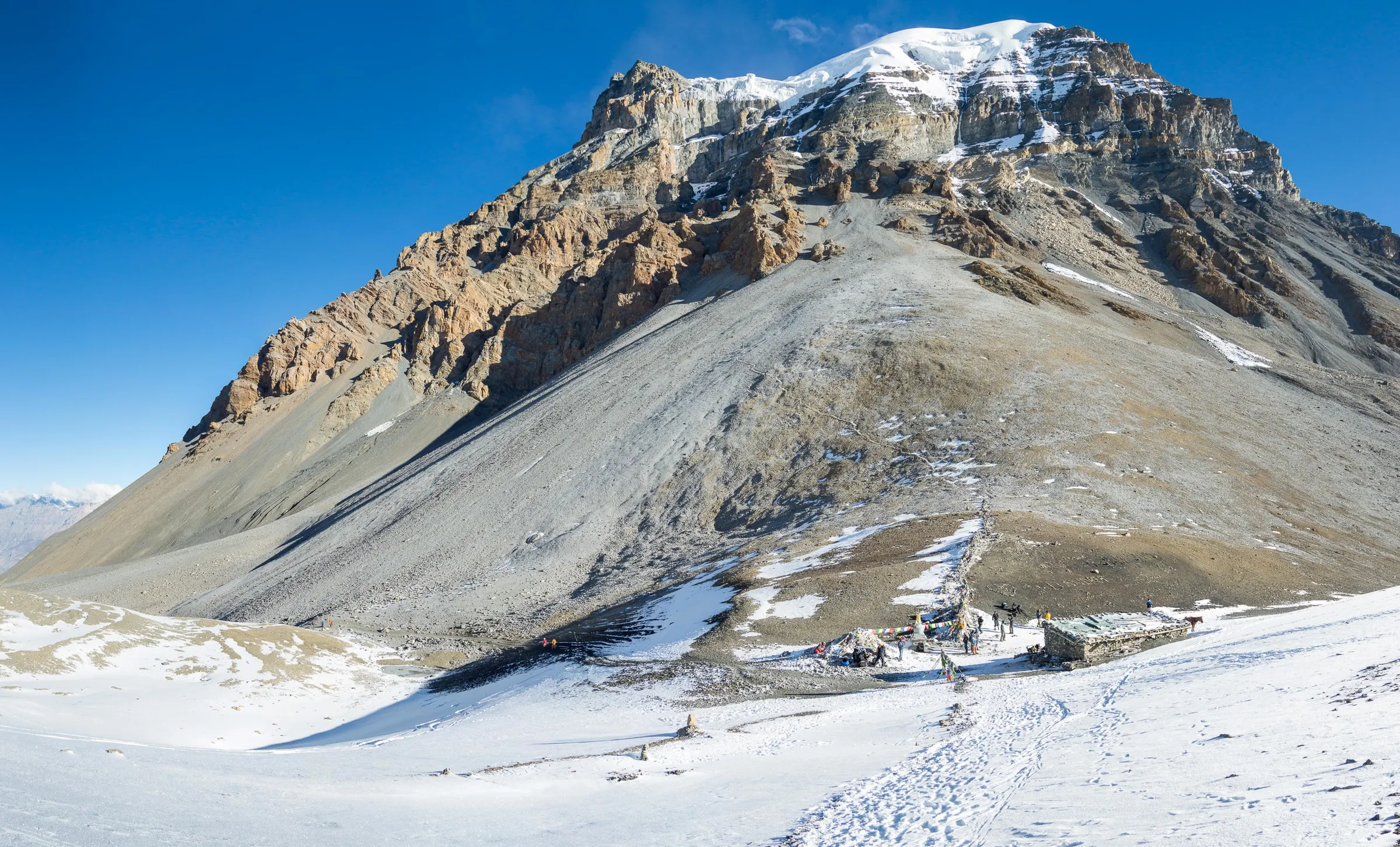
Pass the summer settlement of Kyang and rows of old chortens, then walk through the gate below Phu into the village perched above the river.
Day 9: Nar over the Kang La (5,320 m) to Ngawal (3,660 m)
The high point of the trek · Annapurna II ahead
8–9 hrs · 5,320 m · High point
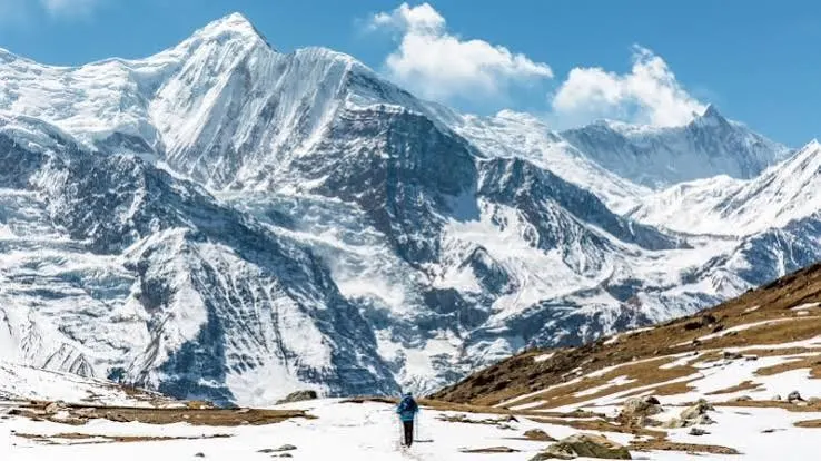
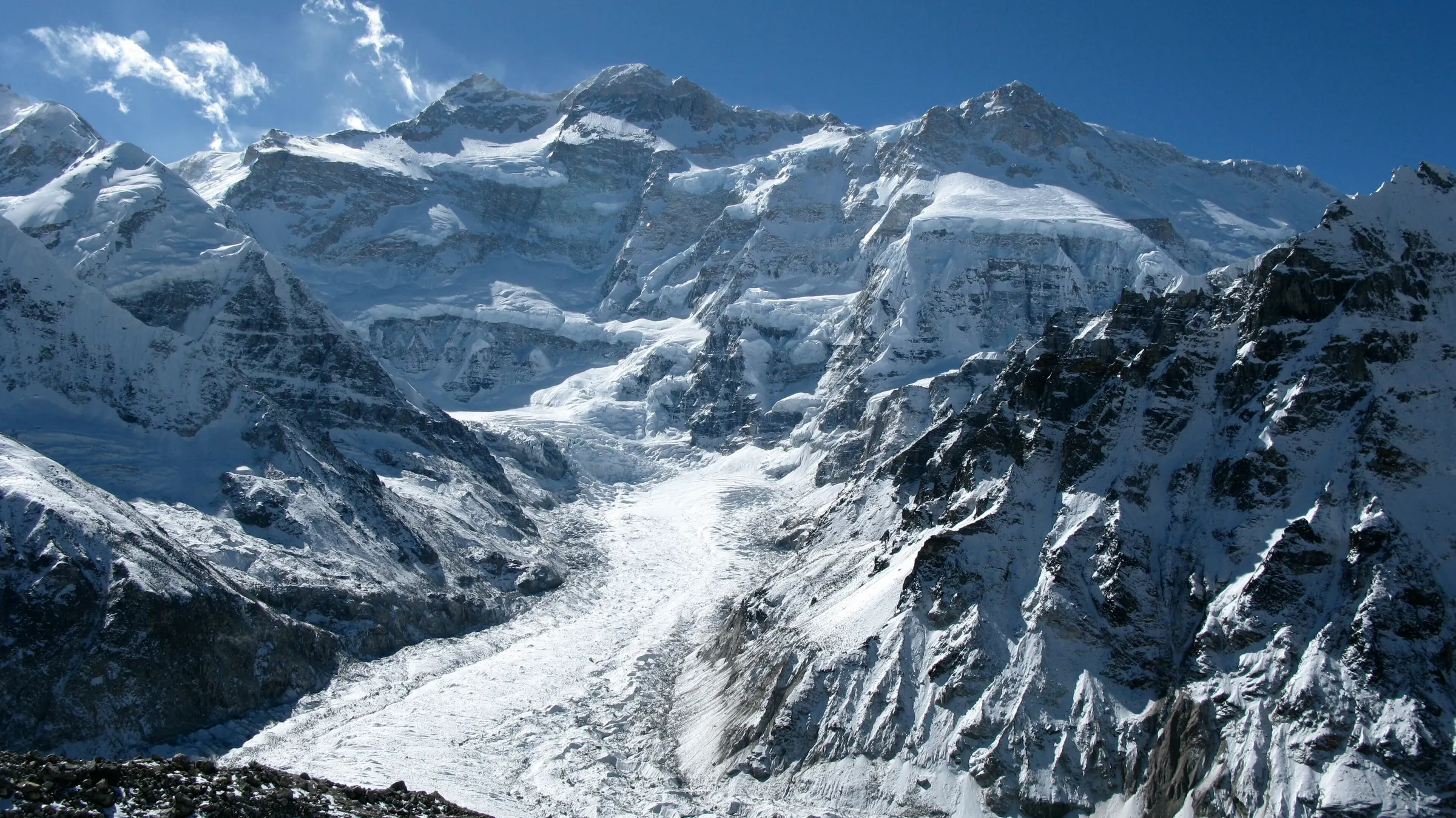
An early start up the long slope to the Kang La, with Annapurna II, Gangapurna and Tilicho Peak ahead. A steep descent brings you to Ngawal on the upper Annapurna Circuit.
Permits and the guide rule
Nar Phu is a restricted area, like Manaslu and Upper Mustang. You need a Nar Phu restricted area permit and the Annapurna Conservation Area Permit (ACAP). The restricted permit is issued only through a registered agency, and you must walk with a licensed guide.
We arrange both permits in Kathmandu before your trek. Group rules for restricted areas have changed in the past, so we confirm the current rules when you book; if you are travelling alone, tell us early.
When to go
Nar Phu sits in the rain shadow behind the Annapurnas, so it stays drier than most of Nepal. September to November is the best time: clear skies, harvest in the villages and stable weather for the Kang La. April and May are good once the snow on the pass has eased.
The summer months are possible, which is rare in Nepal, but the jeep road to Koto can be hit by landslides. Winter is very cold, the pass is snowbound, and many families move down to lower valleys.
Village life and where you sleep
In Meta, Phu and Nar you stay in simple lodges and homestays run by village families. Rooms are basic and cold, with thin mattresses and blankets, so bring a warm sleeping bag. Meals are simple too: dal bhat, potatoes, noodles, Tibetan bread and plenty of tea.
Visit the Tashi Lhakhang monastery above Phu, and ask your guide before photographing people or the inside of homes and temples. A rest day in Phu helps you adjust to the altitude and gives you time to see village life without rushing.
Combining Nar Phu with Thorong La
After the Kang La you come down to Ngawal, a village on the upper route of the Annapurna Circuit. Most trekkers who cross the Kang La are already well acclimatised, so continuing over Thorong La (5,416 m) to Muktinath is a natural next step.
From Manang the route goes up to Yak Kharka and Thorong Phedi, crosses the pass early in the morning, and drops to Muktinath, a temple sacred to Hindus and Buddhists. Allow about 16–18 days for both treks. The ACAP covers this part, so no extra restricted permit is needed for Thorong La.
Respecting the villages
Phu and Nar are working villages, not museums. Walk clockwise around chortens and mani walls, ask before taking photos of people, and dress modestly when you visit the monastery. Your guide will tell you when it is a good moment to visit, and how to leave a small donation if you would like to.
How hard is it?
It is a challenging trek. You spend several nights above 4,000 m, and the Kang La day is long: an early start from Nar, a steep climb to 5,320 m, and a long descent to Ngawal. You don't need climbing skills, but you should be fit and comfortable walking 6–7 hours a day.
Our itinerary climbs slowly and includes a rest day in Phu, and your guide checks everyone's health each evening.
Before you book
- A passport valid for at least 6 months, and a Nepal visa
- Travel insurance that covers trekking to 5,500 m and helicopter rescue
- Warm layers and a sleeping bag for nights well below freezing
- Enough Nepali rupees in small notes for the whole trek
- A few spare days in case of road or weather delays
Plan Nar Phu with our team
Ask about Nar PhuFrequently asked questions
How many days is the Nar Phu Valley trek?
Our itinerary is 13 days from Kathmandu and back. Many trekkers add Thorong La and Muktinath afterwards, for about 16–18 days in all.
Can I trek Nar Phu without a guide?
No. Nar Phu is a restricted area: the permit is issued through a registered agency, and you must walk with a licensed guide.
Is Nar Phu harder than the Annapurna Circuit?
A little. The lodges are simpler, you sleep high for several nights, and the Kang La is a real pass. It suits trekkers who are fit and happy with basic rooms.
Can I combine Nar Phu with Thorong La?
Yes. After the Kang La you reach Ngawal near Manang, which is on the Annapurna Circuit. From there you can continue over Thorong La to Muktinath.
Is there phone signal or Wi-Fi?
Very little in the upper valley. Expect to be offline for a few days between Meta and Ngawal, and tell your family before you go.