In this guide (9 sections)
Quick answer
The Kanchenjunga trek takes about 20–25 days to see both base camps: Pangpema (5,143 m) below the north face, and the Oktang viewpoint near the South Base Camp. You fly to Bhadrapur and drive to Taplejung. You need a restricted area permit and the KCAP, through an agency, with a licensed guide. Go in October–November or April–May.
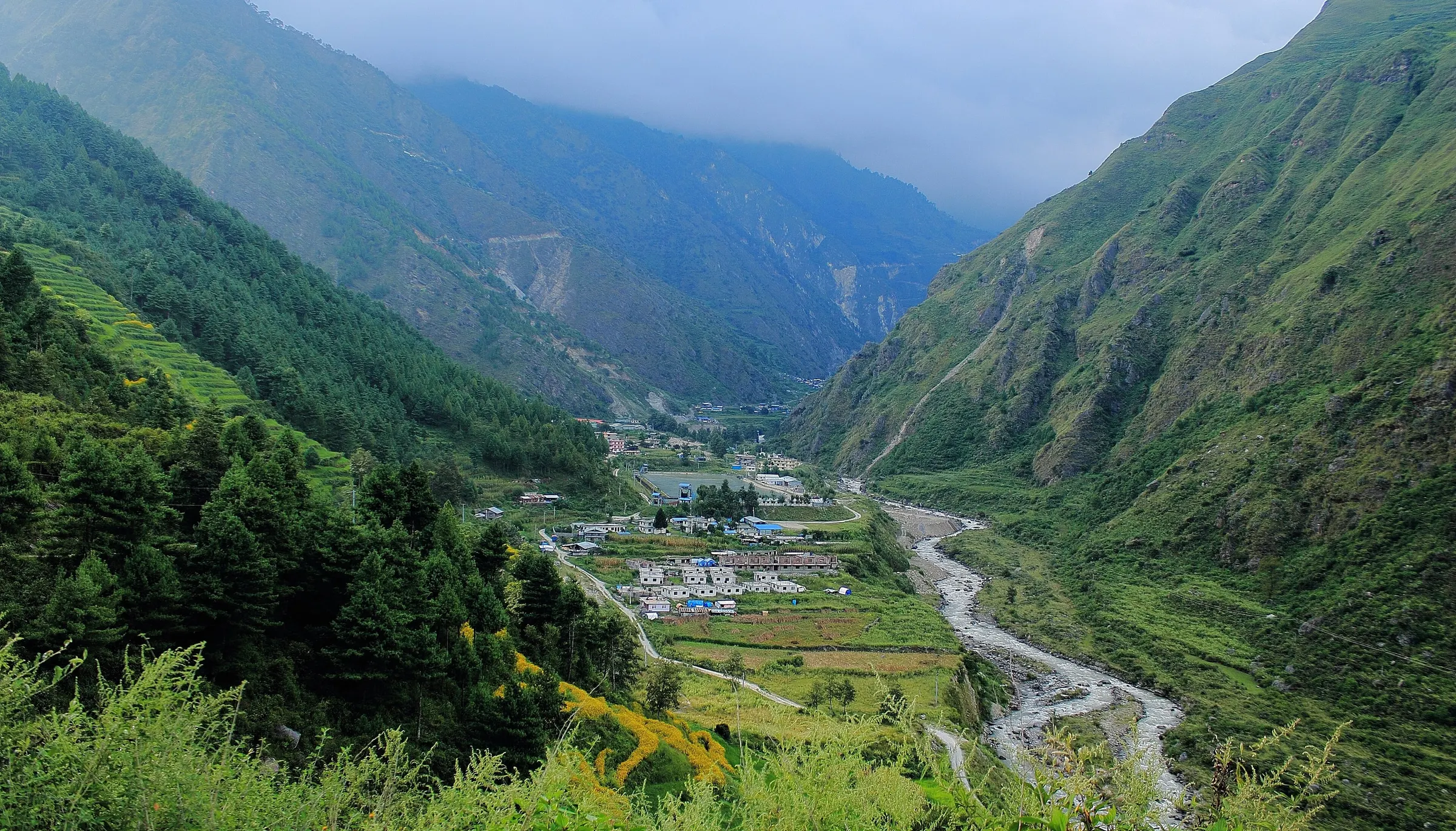
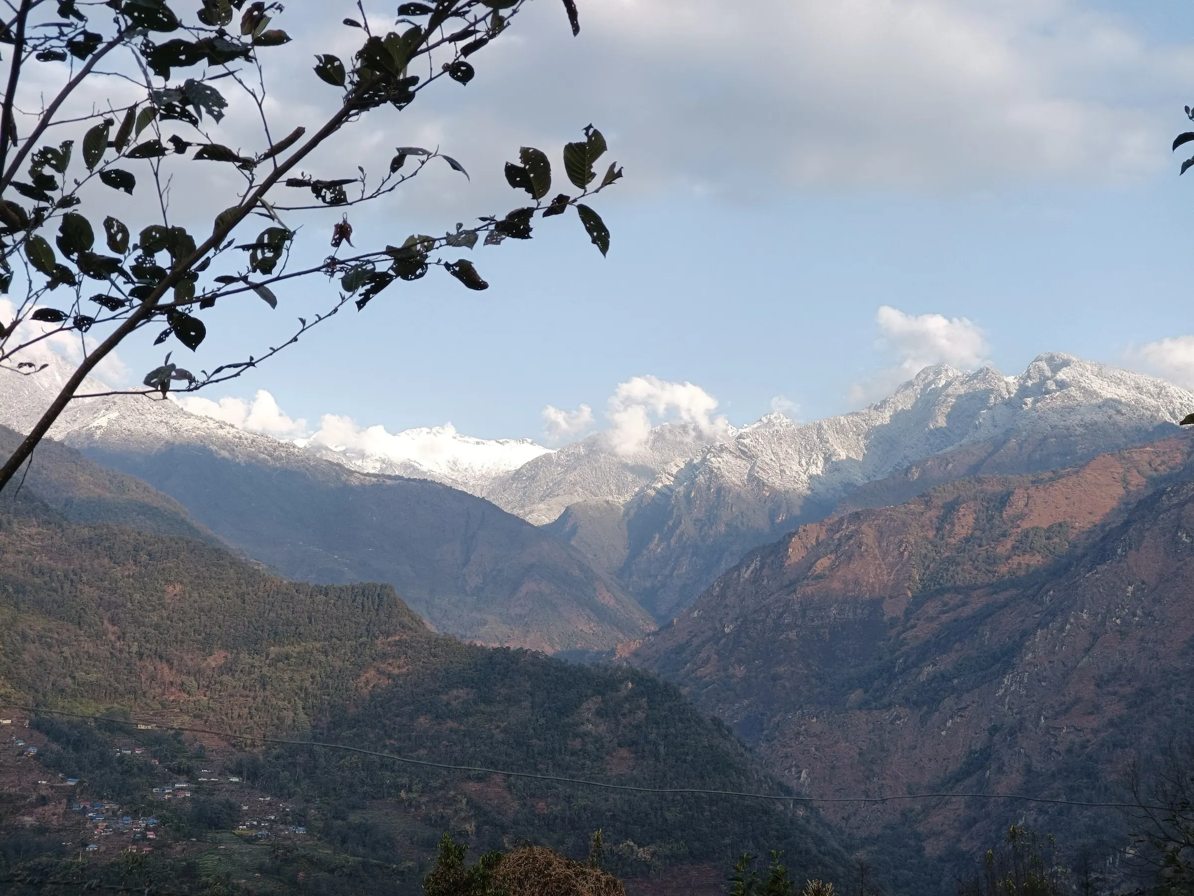
Kanchenjunga (8,586 m) stands on the border of Nepal and Sikkim, a long way from Kathmandu and from the busy trails. That distance is the reason to go: you walk for days through Limbu farming villages, forest and high pastures, and you may see more yaks than trekkers. Here is how our team plans it, checked by Dil Kumar, who grew up on the southern route. The Kanchenjunga region page has the overview.
Getting to the trailhead
Most trips start with a flight from Kathmandu to Bhadrapur in the south-east, about an hour, followed by a long drive of 9–10 hours to Taplejung. From Taplejung a jeep takes you to the trailhead at Sekathum for the northern route.
There is a small airstrip at Suketar near Taplejung. When flights run, they save a day, but they are not reliable, so we plan by road and use the flight as a bonus.
North and South Base Camp
North: Pangpema (5,143 m)
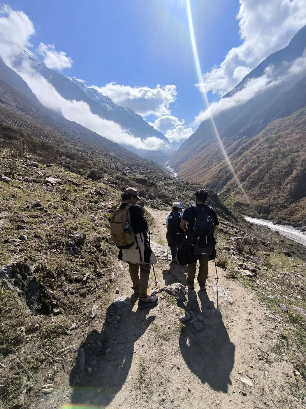
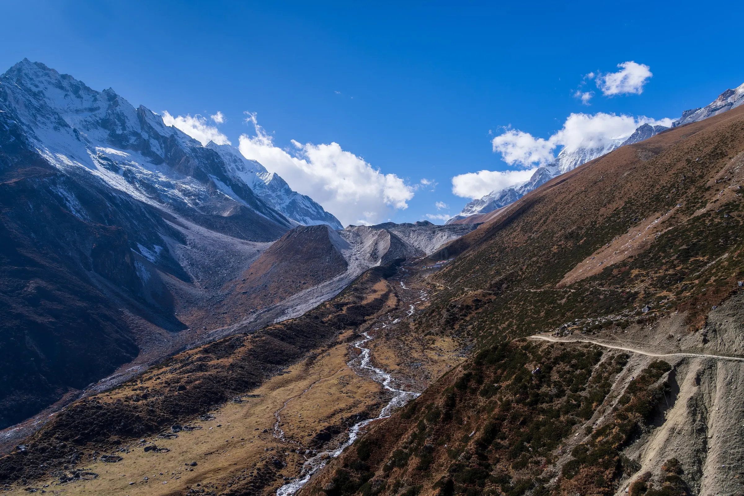
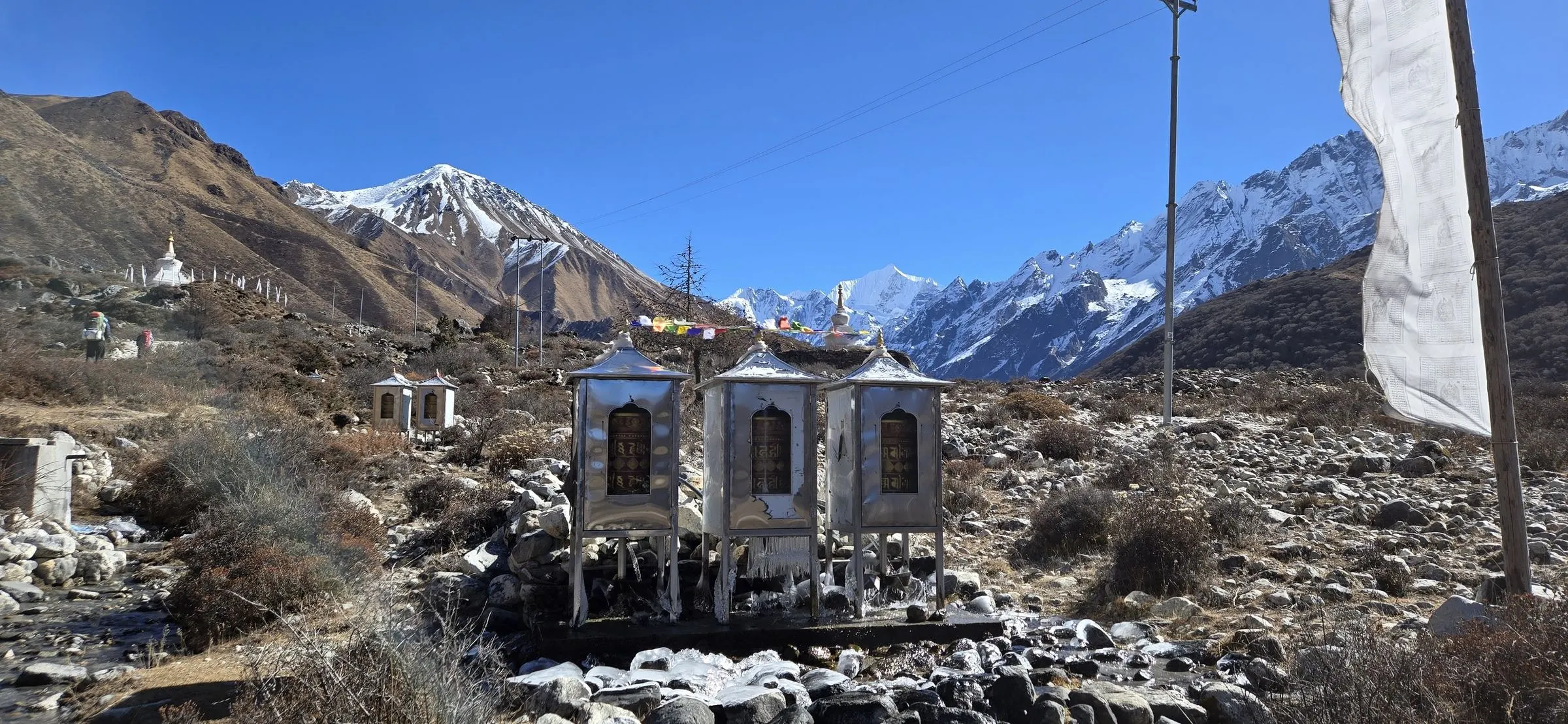
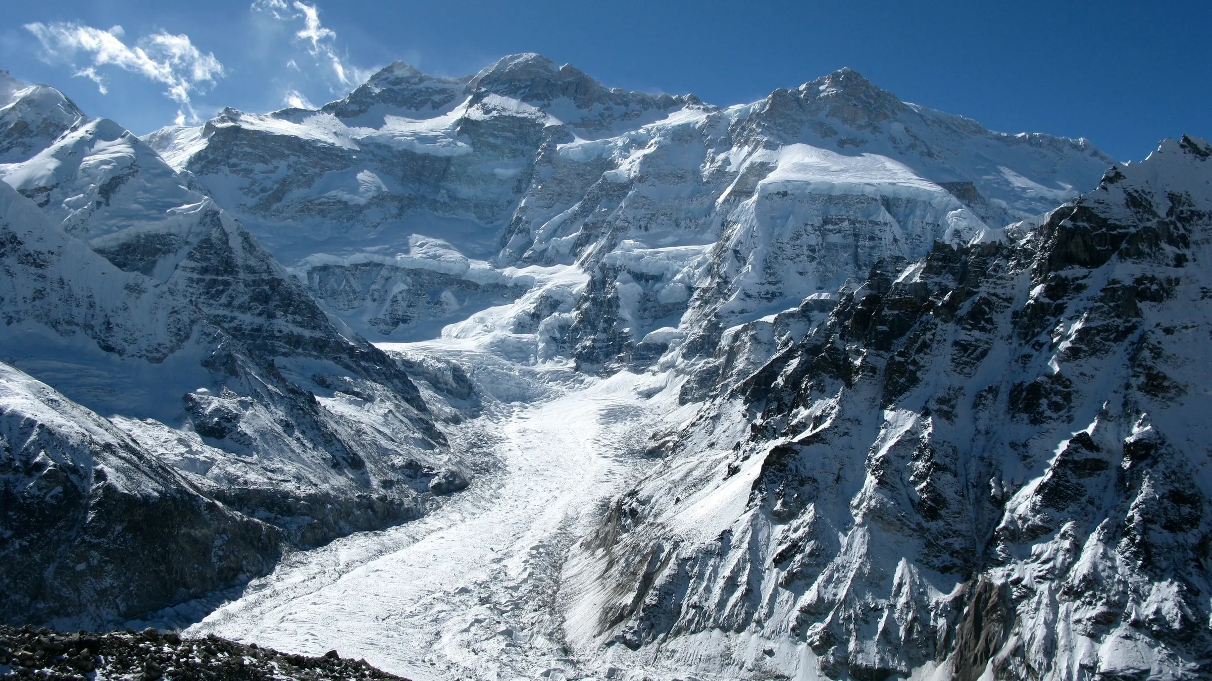
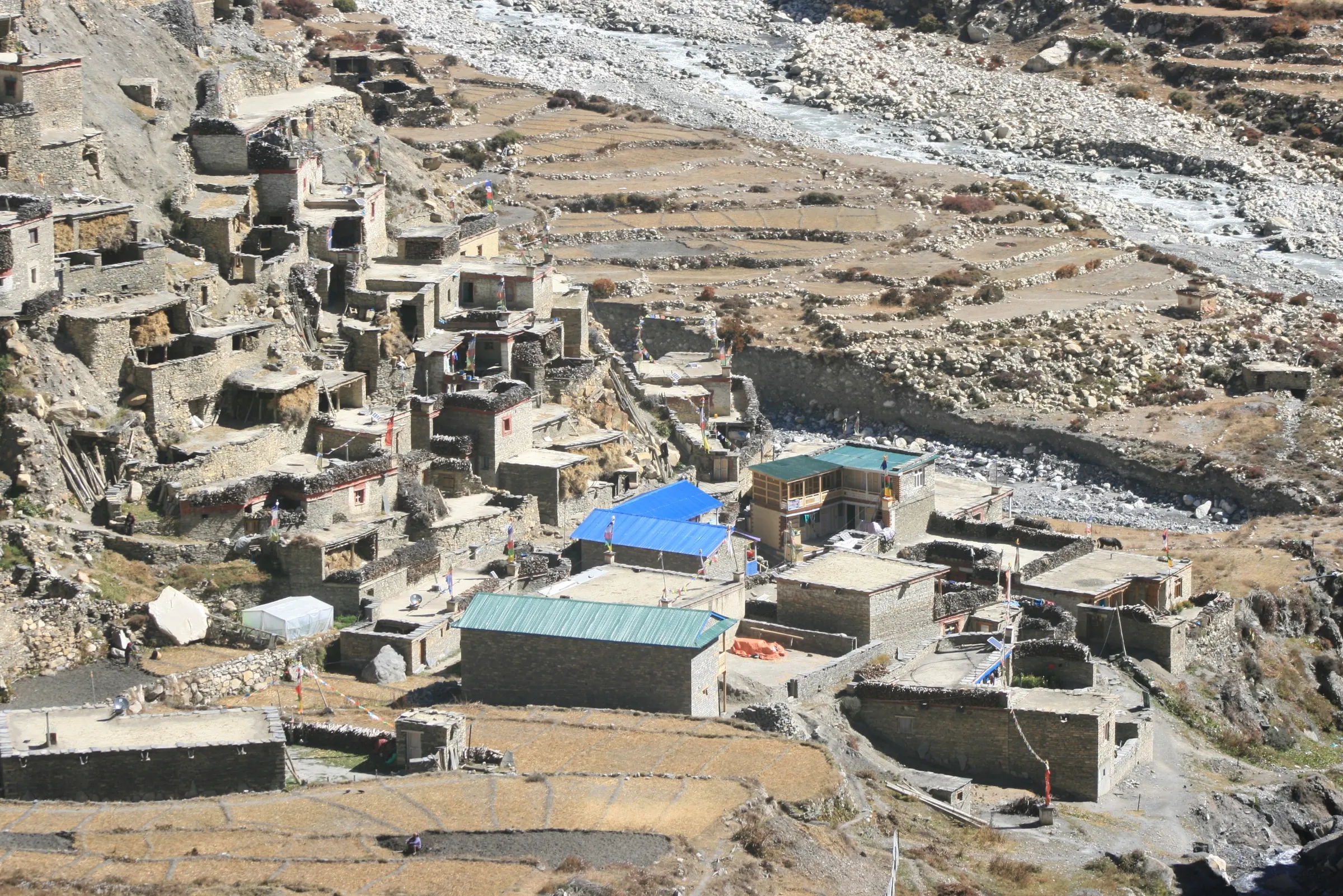
The northern route follows the Tamor and Ghunsa rivers up through Amjilosa and Gyabla to Ghunsa, a Tibetan village with a monastery and prayer flags. Above Khambachen and Lhonak, a day hike takes you to Pangpema, facing the great north face of Kanchenjunga.
South: Oktang viewpoint
From Ghunsa you cross the high passes of the Sele La to Tseram, and walk up beside the Yalung Glacier to Ramche and the Oktang viewpoint, below the south face. The way out goes through Torontan and the Limbu village of Yamphudin.
Our full trek links both sides. If you have less time, the north side alone takes about 16–18 days.
Day 10: Khambachen to Lhonak (4,780 m)
Along the Kanchenjunga Glacier moraine
4–5 hrs · 4,780 m
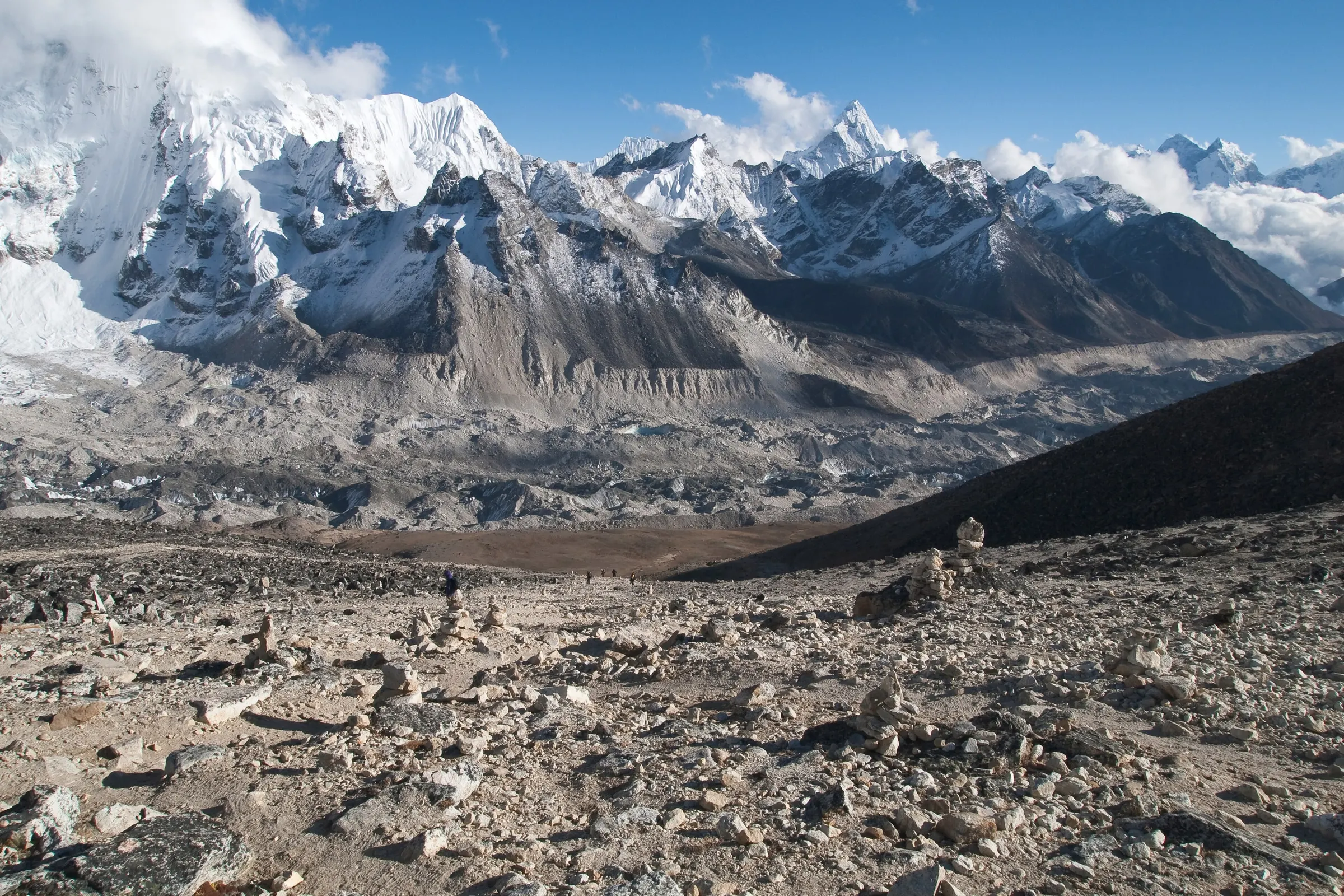
A gradual climb over rocky ground beside the Kanchenjunga Glacier to Lhonak, a wide sandy plain ringed by peaks.
Day 11: Day hike to Pangpema, North Base Camp (5,143 m)
The high point of the trek · Kanchenjunga's north face
6–7 hrs · 5,143 m · High point
An early start along the glacier to Pangpema, where Kanchenjunga's north face rises straight above you. Time for photos, then back to Lhonak for the night.
Day 14: Sele Le to Tseram (3,870 m) over the Sele La passes
Mirgin La and Sinion La · Views to Jannu and Makalu
8–9 hrs · 4,646 m
The longest day: a series of passes up to about 4,650 m, with views of Jannu and, on clear days, Makalu and Everest far to the west. A long descent leads to Tseram.
Day 16: Hike to the Oktang viewpoint (4,730 m), back to Tseram
Kanchenjunga's south face
6–7 hrs · 4,730 m
An early walk to Oktang, near the South Base Camp, for the south face of Kanchenjunga above the Yalung Glacier. Back down to Tseram for the night.
Permits and the guide rule
Kanchenjunga is a restricted area. You need the Kanchenjunga restricted area permit and the Kanchenjunga Conservation Area Permit (KCAP). The restricted permit is issued only through a registered agency, and you must walk with a licensed guide.
We apply in Kathmandu before your trek. Group rules have changed over the years, so we confirm the current rules when you book; solo trekkers may need to join others for the permit.
When to go
October and November are the best months, with clear skies and settled weather for both base camps. April and May are good too, with rhododendron forests in flower lower down, though snow can linger on the Sele La in March.
The monsoon brings heavy rain to the east, with landslides and leeches on the long lower trail, and winter snow closes the high passes. We don't run the full trek in either season.
Teahouses, food and life on the trail
Teahouses now run along most of the route, so camping is no longer needed for the standard trek. They are basic and far apart in places: shared rooms, simple meals and cold nights. Some nights are in village homes, which is one of the joys of this trek.
Food is simple: dal bhat, noodles, potatoes, eggs and tea.
Bring snacks from Kathmandu for the long days.
Charging and hot water cost a little extra, and are not available everywhere.
There are no ATMs after Taplejung: carry enough cash for the whole trek.
Culture and wildlife on the way
The lower part of the trek runs through the hills of the Limbu people, with terraced fields, cardamom plantations and villages where trekkers are still a novelty. Higher up, Ghunsa and the summer settlements around it are Tibetan Buddhist, with a monastery, mani walls and prayer flags.
The Kanchenjunga Conservation Area protects forests and high pastures that are home to red pandas, Himalayan blue sheep and snow leopards. You are unlikely to see a snow leopard, but blue sheep are common on the slopes above Khambachen and Lhonak, and the birdlife in the lower forests is rich.
Is it right for you?
The Kanchenjunga trek is strenuous: long days, many steep climbs and descents, and several nights above 4,000 m. It suits fit trekkers with some experience of multi-day walks and altitude, who are happy with simple lodges and a long way from roads.
If you want the remote feeling with fewer days, look at Manaslu or Nar Phu. If you have three weeks and love quiet trails, Kanchenjunga is hard to beat.
Our trek leaders for remote and restricted areas
Dil Kumar Limbu
Kanchenjunga trek leader
“Kanchenjunga is a long way from anywhere. That is exactly why it is worth it.”
Tsering Lama
Restricted-area trek leader
“On the Larkya La we start before dawn and turn back if the weather says so. That is how we come home.”
Plan Kanchenjunga with us
Ask about KanchenjungaFrequently asked questions
How long is the Kanchenjunga trek?
About 20–25 days to see both base camps, or 16–18 days for the North Base Camp only, plus travel to and from far-east Nepal.
Do I need a guide for Kanchenjunga?
Yes. It is a restricted area: the permit is issued through a registered agency, and you must trek with a licensed guide.
Is camping needed?
Not on the standard route any more. Basic teahouses and village homes run along most of the trail.
How do I get to Taplejung?
Fly from Kathmandu to Bhadrapur (about 1 hour), then drive 9–10 hours to Taplejung. Flights to Suketar, near Taplejung, save a day when they run.
North or South Base Camp?
Pangpema on the north side has the most dramatic view of the mountain. The south side has forests and the Yalung Glacier. Our full trek links both over the Sele La.
What happens in an emergency?
Your guide carries a first-aid kit and a pulse oximeter. If needed, our Kathmandu office coordinates helicopter evacuation with your insurer, so rescue cover is essential.